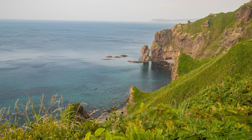
Visit Cape Kamui, a rocky headland that juts out into the Sea of Japan, to admire the beautiful sea views.
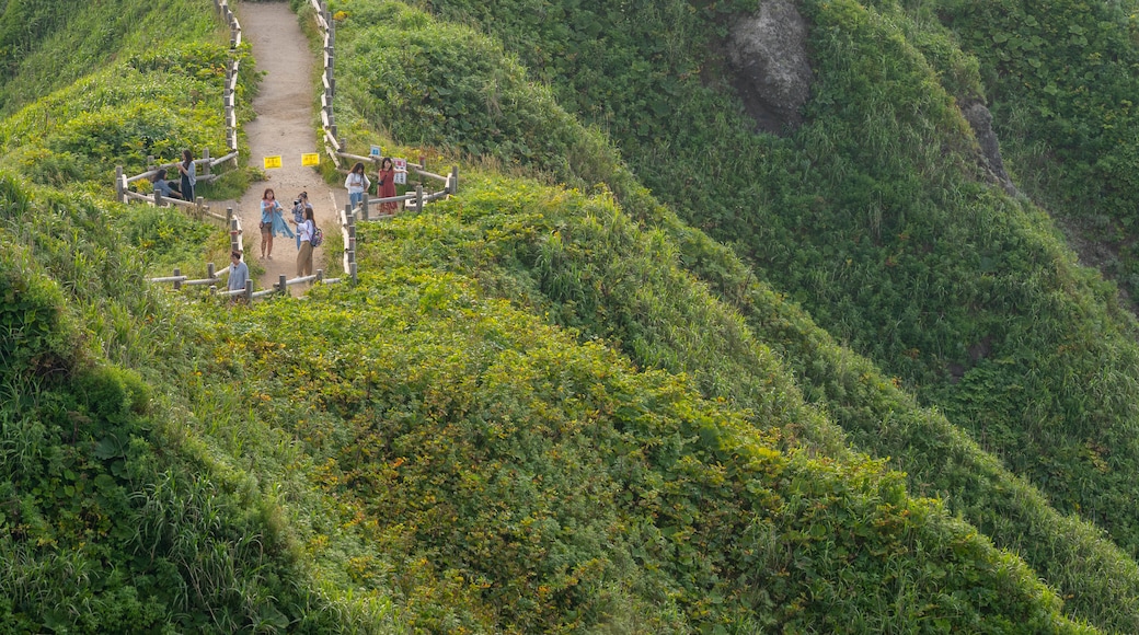
Reach the cape’s tip by walking along the Charenka Path, a clifftop trail that stands approximately 262 feet (80 meters) above sea level. Depending on your walking speed a round trip takes about 40 minutes to 1 hour and covers a distance of about 1 mile (1.6 kilometers). If you don't possess at least a moderate fitness level you may find the going difficult.
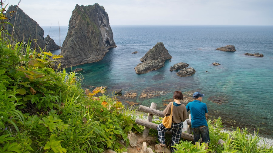
Pause at the viewing points along the way to take in elevated views of the coastline and the Sea of Japan. The sea is nicknamed Shakotan Blue in this part of the country because of its deep blue hue. Look at the remains of a communications tower that dates back to World War II. If you're at the cape during early summer, you'll see yellow ezokanzo flowers in bloom in the surrounding fields.
When you arrive at the edge of the cape, stand by the Kamui-misaki Lighthouse or sit on one of the nearby benches to enjoy the exceptional views. From your vantage point, you'll see a series of jagged rocks lying just off the cape, including the Kamuiiwa Rock, which is easily recognized by its narrow, pointed top.
Retrace your route back along the top of the cliff and complete your cape visit in the restaurant by the parking lot. Sample local seafood specialties such as sea urchin and seafood rice bowls.
Cape Kamui is located inside the Niseko-Shakotan-Otaru Kaigan Quasi-National Park, approximately 43 miles (69 kilometers) from Otaru and 66 miles (106 kilometers) from Sapporo. Travel by bus from either of these locations or come by car and use the free parking spaces.
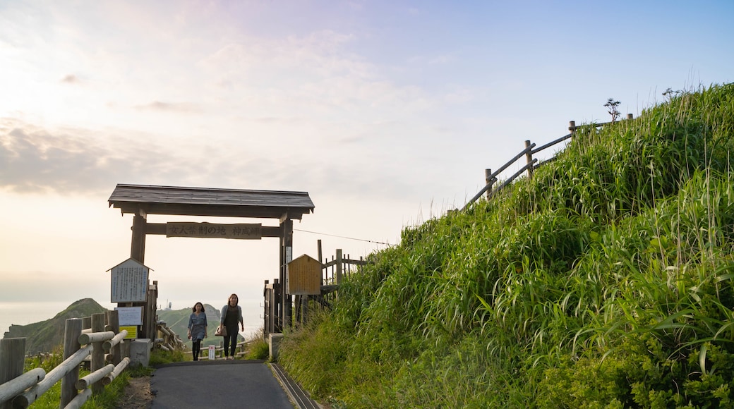
Access to Cape Kamui is via a gate which is open daily from early morning until late afternoon. However, the times are subject to change due to weather conditions such as winds and rain.


